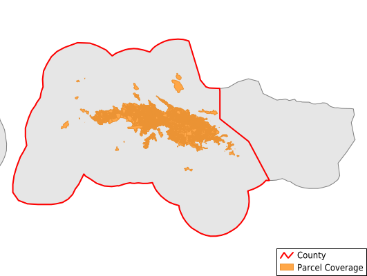
St. Thomas Island
Parcel Data
Price: $250.00
Last Updated:
2024-Q1
Parcels in County:
24,452
Parcel data available to download as a GDB, GeoPackage, Shapefile, Excel, CSV, or Google Earth KML file.
All purchased data comes with six months of access, including any updates, at no additional cost.
Key attribute coverage for St. Thomas Island
The percentage of St. Thomas Island parcels containing the following key attributes:
Owner: 92.7%
Parcel Number: 99.8%
Acreage (Calculated): 100%
Site Address: 79.2%
Mailing Address: 92.7%
All available attributes in St. Thomas Island
Parcel Number
Site Address
Owner
Zoning
Acreage (calculated)
Perimeter
Municipality
Zip Code
Census Tract
Census Block Group
Census Block
Total Market Value
Land Market Value
Building Market Value
Mail Name
Mail Address1
Mail Address3
Legal Desc1
Addr Sec Unit Num
Place Gnis Code
Elevation
Owner Occupied
Robust Id
Usps Residential
Acreage Adjacent With Sameowner
Municipalities Respresented in St. Thomas Island
Charlotte Amalie subdistrict: 5,943
East End subdistrict: 4,435
Northside subdistrict: 7,060
Southside subdistrict: 2,310
Tutu subdistrict: 2,327
Water Island subdistrict: 416
West End subdistrict: 1,961
Save money when you buy data in bulk
We offer discounted pricing on county and state downloads.